by David F Radcliffe
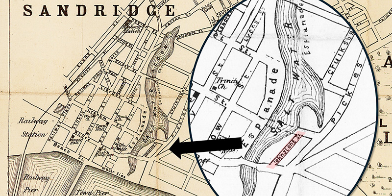
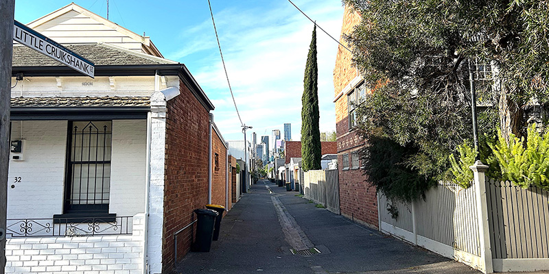
Little Cruickshank Street runs between Liardet and Bridge Streets, providing access to the rear of properties on Cruickshank and Pickles Streets, Port Melbourne. This right-of-way was formed when the Crown Land on the eastern shore of the Sandridge Lagoon was surveyed and sold in the 1870s.
Entrance to Little Cruickshank Street from Liardet Street
It was never…
by David F Radcliffe
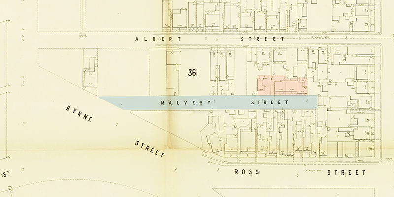
Melville is a difficult-to-find street near the Port Melbourne Tennis Club; blink and you miss it.
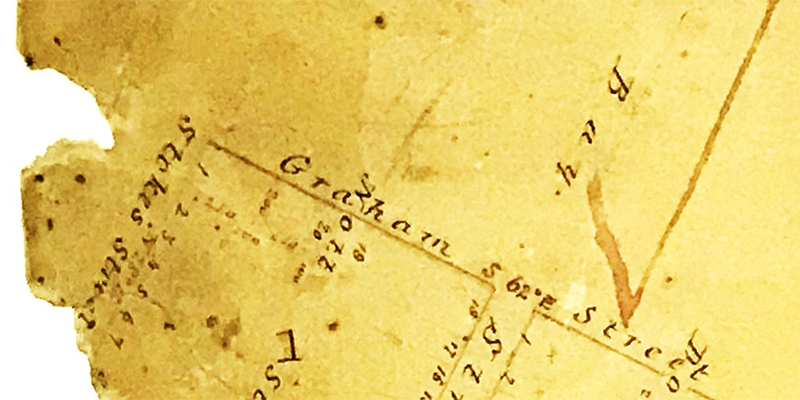
When the Crown Land south of Graham Street between Ross and Clark was surveyed and sold between 1868 and 1869, Albert Street was the only internal access road.[i] Melville was created as a private right-of-way in the late 1870s when…
by David Thompson
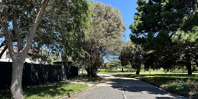
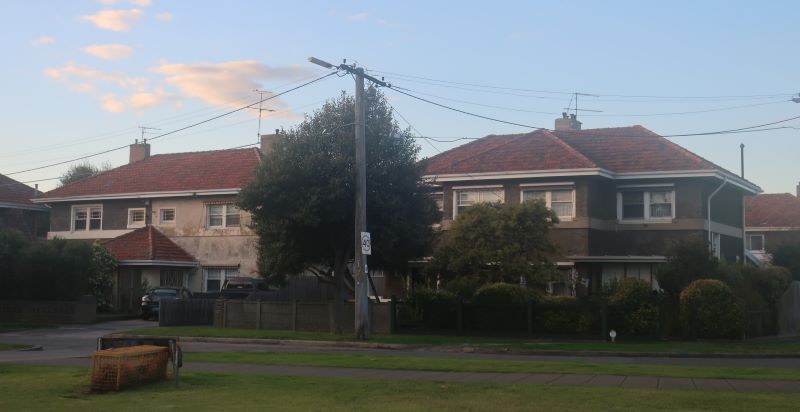
Leith Crescent looking towards Howe Parade (2024). Photograph by David Thompson
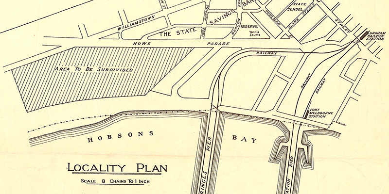
Leith Crescent is a short curving street running between Howe Parade and Williamstown Road. It is closed at Williamstown Road creating a cul-de-sac for the small number of ‘bank houses’ that face onto the street. And ‘bank houses’ are the key behind the naming of Leith Crescent.…
by David F Radcliffe
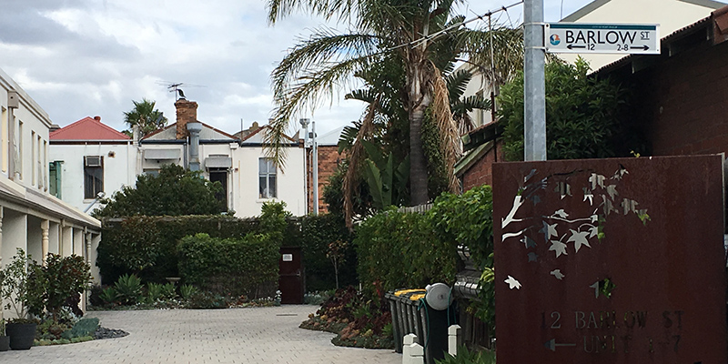
Barlow Street is one of those “internal” roadways that provide access to houses located off the main streets in Port Melbourne. Its entrance is on the eastern side of Nott Street between Liardet and Graham Streets.
Access to Barlow Street off Nott Street. Photograph by David Radcliffe.
Like Florence Place, Barlow Street is a consequence of the way…
by David Thompson
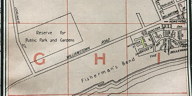
Lind Avenue (highlighted), Morgan's Official Street Directory, 34th Edition, Map 36 (detail)
Lind Avenue runs from Dunstan Parade to Sandridge Avenue along the western edge of Buckingham Reserve.
It was probably named after Albert Eli Lind, later Sir Albert Eli Lind, who was a Minister and Deputy Premier in the Dunstan State Government as well as serving…
by David F Radcliffe
When the first allotments of Crown Land in Sandridge (now Port Melbourne) were sold in 1850, the settlement comprised just six streets – Graham, Rouse, Stokes, Nott, Bay and Dow. While Bay Street is obvious, the origins of the names for the other five streets remains something of a mystery. Margaret Bride has written about the…
Albert Tucker served two terms as Mayor of Port Melbourne - in 1916-17 and 1927-28. His time on council was not continuous. He stood for election on three separate occasions. Nevertheless it was said that "One can hardly conceive the Port Melbourne Council without Albert Tucker". Tucker was a stalwart Labour man.
He was clearly well respected by his peers and…
William Henry Prohasky served on the Port Melbourne Council from August 1885 to September 1893. He was Mayor from 1888 to 1889. His fellow councillors include Frederick Poolman, James Ker Beck Plummer, Henry Norval Edwards, Philip Melville Salmon, John Turnbull, and William Richardson Tarver.
He lived at that time at 73 Evans St on the corner of Farrell…
by David Radcliffe
Around Port Melbourne there are streets, like Bain Street, that once existed but have since disappeared. There are many more streets whose name has been changed.
In April 1878, a cluster of intersecting streets in the south-western corner of the rapidly expanding Sandridge were gazetted as shown below.1 One of these was Bismarck Street.
Note the self-referential nature of…
Surely such a grandly named boulevard would be one of the more prominent streets in Port Melbourne. Nothing could be further from the truth.
Barkly Avenue is a short laneway off Garton Street, tucked in behind Crockford Street.
It is named in honour of Sir Henry Barkly who was Governor of Victoria when the Borough of Sandridge gained separation from…