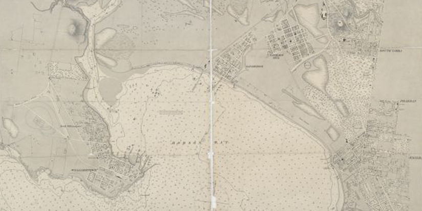
Chart of Hobson's Bay by H L Cox (1864)
The landscape of Port Melbourne has been hugely changed by human intervention since white settlement. The shape and course of the Yarra River has been changed, the swampy terrain is now covered with roads and other hard surfaces, and there is a new land mass at the mouth of the river.
Janet Bolitho's presentation, Mapping…
showing the location of the abattoir
Whenever PMHPS speaks with people who grew up in Port, tales from the Bend emerge. It seems that the Bend offered the best kind of adventures a boy could have. (Girls seldom went down there).
Boys roamed about in a way that would not be permitted in our safety preoccupied times. Many of these stories start…
Last week, Premier Napthine and Planning Minister Guy released Plan Melbourne which sets out the government's vision for Melbourne to 2050.
In the Society's collection is a copy of the first plan for Melbourne prepared by the newly formed Metropolitan Town Planning Commission in 1929. While the whole report is full of interest, unsurprisingly PMHPS headed straight for the Port Melbourne references.…
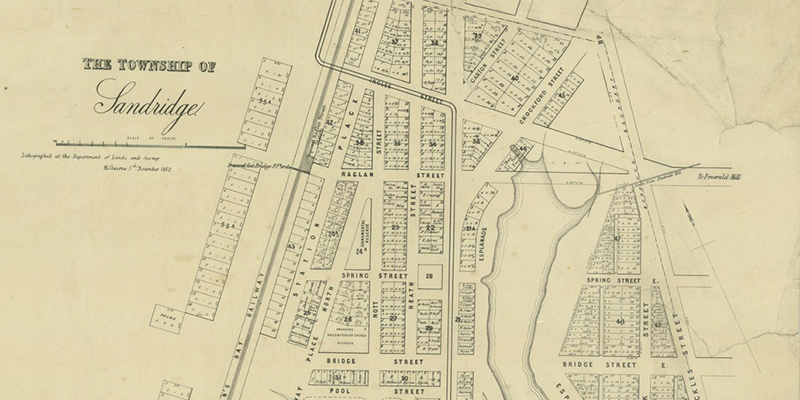
PMHPS finds it endlessly fascinating that it is still possible to 'read' the shaping stories of Port Melbourne in its street layout - the influence of the Lagoon and the Railway in particular.
Township of Sandridge 1860, State Library of Victoria
This is well explained in this report:
"Perhaps the most significant element of Port Melbourne's infrastructure in terms of its ability to…