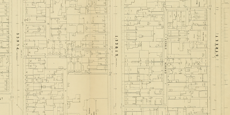
Church St (highlighted), MMBW Map (detail), 1895. State Library of Victoria
Church Street is the Z-shaped laneway running from Stokes Street to Nott Street highlighted above on an MMBW map from 1895.
St Joseph's Roman Catholic Church, MMBW Map (detail), 1895. State Library of Victoria.
The Stokes Street end of Church Street is opposite St Joseph's Roman Catholic Church which was…
Port Melbourne, June 1991 by Brian Cleveland
As Centenary Bridge was demolished between March and June 1991, Brian continued to visit and record the process.
This sketch show the remnants of Centenary Bridge near Station Pier in June 1991.
Demolition of Centenary Bridge, Port Melbourne, April 1991 by Brian Cleveland
As Centenary Bridge was demolished between March and June 1991, Brian continued to visit and record the process.
Centenary Bridge, partly demolished, with Station Pier in the background.
Centenary Bridge (early stage of demolition), Port Melbourne, March 1991 by Brian Cleveland
As Centenary Bridge was demolished between March and June 1991, Brian continued to visit and record the process.
Centenary Bridge from in front of the London Hotel. Although Brian notes that it is the early stage of demolition, the bridge looks intact.