by David Thompson
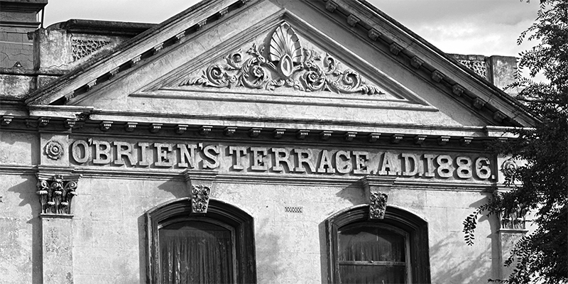
O'Brien's Terrace, Bay Street, 2024. Photograph by David Thompson.
O’Brien’s Terrace, an impressive row of five double-storey shops and dwellings, stands on the west side of Bay Street. The date inscribed on the façade of the building under the pediment indicates it was built in 1886. But who was O’Brien?
The Port Melbourne Conservation Study from July 1979…
by David F Radcliffe
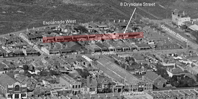
Drysdale Street runs between Graham and Seisman Streets near Lagoon Reserve. It is named for the Drysdale family who resided in this narrow right-of-way from the 1860s to the 1930s. The name came into common usage in the late 1880s.[1]
Drysdale Street off Graham Street
There are many parallels between Drysdale Street and Brewster’s Lane. Both were created…
In 1989 Graham Street Primary School marked its centenary. This badge from the PMHPS collection celebrates the event. We don't know who drew the picture but Pam Snowden who worked in the office for 40 years remembers that the school's badge making machine was in high demand by staff and students.
Graham Street School Centenary Badge. PMHPS Collection Cat No…
by David F Radcliffe
The eclectic range of architectural styles and the pleasant canopy of trees along Heath Street conceal its part in the shaping of Sandridge in the gold fever fuelled 1850s. Apart from its residents, few traverse this quiet street except if they are going to or from the Port Melbourne Town Hall and Library via Spring Street, North…
by Robyn Watters
Captain James Renton Watters Born: 14 October 1838, Longhope, Orkney, Scotland [1] Died: 4 February 1919, Prahran, Melbourne [2]
Captain James Renton Watters, master mariner, settled in Port Melbourne and surrounds in 1875, bringing his Cockney bride with him. Ancestral pride swelled his reputation as a capable and adventurous seafarer but The Truth newspaper filled me in on…
by David F Radcliffe
Brewster’s Lane disappeared from Port Melbourne twice. First, it was erased from local memory after the name of this small roadway changed in 1889. A century later, all traces of the laneway were lost when the area was redeveloped. The aerial photograph below shows the location of the former Brewster’s Lane.
Former Brewster's Lane (1946), State…
by Julie Peters
I was one of the nine Cogan kids who lived in the old general store on the corner of Ross and Raglan Streets. My grandparents had the business from the 1920s until it closed in early 70s. This area was prone to flooding.
1954, the family shop, Nana in doorway, corner of Ross and Raglan Streets (photo…
by Robyn Watters
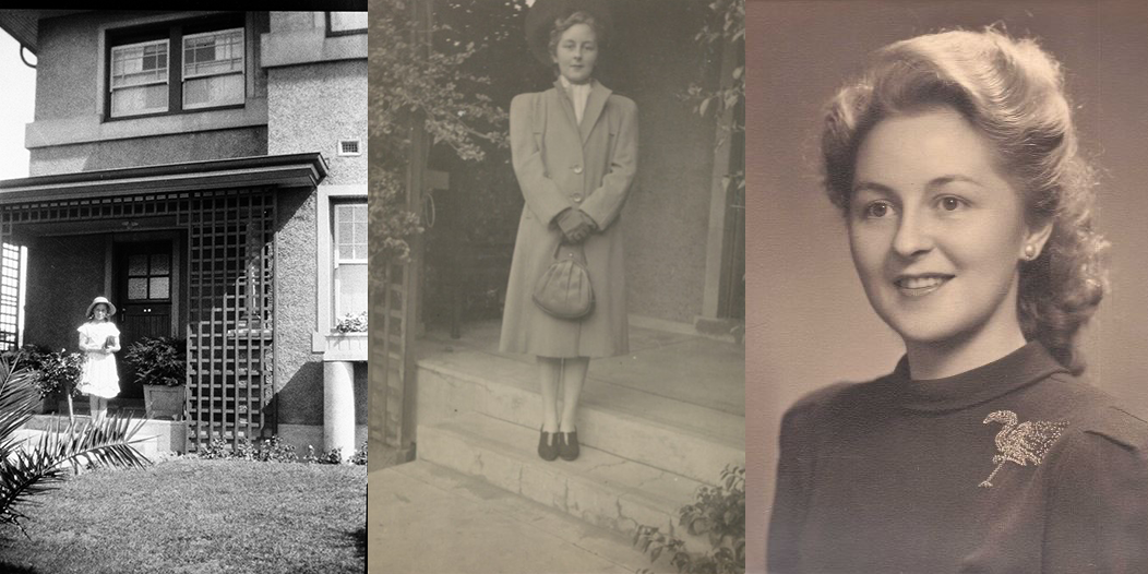
Gertrude Brown (nee Duncan), Moorabbin, Victoria, c. 1964-68.
As a child I had a horrified fascination of a piece of metal lodged under one of my grandmother’s fingernails. I was told it was from an industrial accident when she was a jeweller’s assistant.
Years later when I investigated this claim, the electoral rolls for my grandmother Gertrude Duncan in…
by David Thompson
Buckingham Reserve [highlighted]. City of Port Melbourne map (detail), Amended June 1983. PMHPS Collection. Cat No 704.02.
Buckingham Reserve is near the western edge of Garden City. It is named for former Councillor and Mayor Theodore Thomas Buckingham.
Tom Buckingham was elected to Port Melbourne Council on 21 January 1961 and served until 1986. He was Mayor on…
by David Thompson
In April 1924, the South and Port Thistle Cricket Club won the premiership in the Victorian Scottish Association for the third year in succession, the first time such a feat had been achieved in that association.[1]
The cricket club was part of the well-established South and Port Melbourne Thistle Society, a social organisation formed on 31 August…